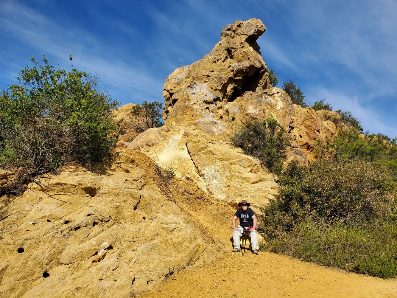

Tue & Thu Hikes (Updated Mon & Wed):
Thu 2/19 Hike: Cancelled due to intense rain.
Rain is forecast at 100% at 10-11 am.
For those who wish to play the odds, or hike in rain, you could meet at the top of Reseda at 8:30 am and prepare to hike Topanga SP to the Hub.
From US-101, exit Reseda and go S for 3.2 mi.
Park for free just before pay parking area at top.
National Weather Service Forecast: 7-Day, and Hourly
Weather Underground Forecast: TOPAN47
Click on GPS coordinates for detailed directions and get travel time on Google Maps: 34.13412,-118.55220
Typical Statistics: Distance=5.7 miles; Cumulative Climb=1200 feet
Loop trail? No
Shade index (1-10): 2
Mapping Trail Head Designation: Marvin Braude Mulholland Gateway Park
App Assisted Trailhead Directions:
For personalized detailed turn-by-turn directions to the trailhead, in traffic, do the following.
These steps are preformed from your cell phone when parked, using your email or browser app.
You must have the Google Maps App. Make sure location is on (Settings, Location, ON).
Click on the GPS coordinates hyperlink in the email or website to open the Google Maps App.
The first time, it may ask which application to use, and you should choose Maps, and Always.
It may ask for permissions, which you will need to allow.
The App should open with the trailhead selected on the map.
It will now display the words "Your location" in the From edit box.
Click on the Directions button and the best route of all possible ones will be shown.
The directions, distance and travel time (in current traffic) are displayed
Sometimes speed traps, highway debris, or visibility warnings may be presented.
And you may be rerouted if traffic conditions change.
Click Start, put the phone in your holder and follow the verbal directions.
Weather at Trail Location:
Click on the weather links to find the weather forecast specific to the trail location. The 7-Day forecast shows the NOAA daily forecast for the week, and the location on the map. The Hourly forecast shows the NOAA detailed parameters on an hourly basis for the days you select.
The 10-Day forecast from Weather Underground is also provided. My experience is that real temperature will be 2 or 3° above these forecasts, especially in the Summer.
These links will give you guidance on the weather conditions, however, you are responsible for you own weather/temperature research, and basing it on your decision to hike.
Eight Ways to Get your Personalized Best Route to Trailhead
The first three (using your cell phone) include traffic re-routing, travel time, ETA, and possible speed traps, hwy debris and visibility warnings.
The following assume you are viewing the hiking email or website when parked.
1. Click on the GPS coordinates in your cell phone’s Email App or Browser App.
2. Recite or type the Mapping Trail Head Designation into your cell phone’s Map App.
3. Type the GPS coordinates into your cell phone’s Map App (using at least 4 decimal places).
4. Click on the GPS coordinates from email or browser on your home computer, and print out or memorize the results.
5. Type or recite the Mapping Trail Head Designation into your automobile’s GPS system.
6. Type the GPS coordinates into your automobile’s GPS system (using at least 4 decimal places).
7. Follow the directions in bold .
8. Drive to the trailhead from your wildest recollection.
